We can't find the internet
Attempting to reconnect
Something went wrong!
Hang in there while we get back on track
Big Bend Trail
Trail to Big Bend Falls and the Chattooga River
About This Trail
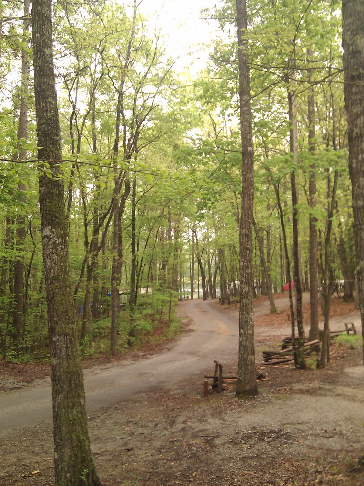
Starting from the Cherry Hill Recreation Area, the moderate 2.7-mile (one way) trail affords views of the biggest drop on the Chattooga River, a rumbling
30-foot hydraulic known as Big Bend Falls. Even though this is a mountainous locale, you will find the hiking on this trail is fairly straightforward. Red blazes guide you through a predominantly hardwood forest of hemlocks, white oaks, mountain laurel, and galax. The Big Bend Trail runs parallel to Big Bend Road (FS 709) for some distance and eventually ends at a junction with the Foothills Trail. You need to hike approximately .6 mile south on the Foothills/Chattooga Trails (the Foothills and Chattooga Trails run oncurrent in this area) for a nice view of Big Bend Falls from a ridge overlooking the river.
Getting There
Trail Photos
Nearby Trails
Lee Falls Trail
Hiking trail to the stunning and secluded Lee Falls
Yellow Branch Nature Trail
Nature trail in the Sumter National Forest
Yellow Branch Falls Trail
Hike to Yellow Branch Falls
Blue Ridge Railroad Historical Trail
Hiking trail from Stumphouse Mountain to the suburbs of Walhalla
Oconee Station Interpretive Trail
Easy loop with cultural history and river valley habitat.
Been to Big?
Share your experience and help fellow hikers discover this trail.
Write a Trail Report Report Conditions Upload Photo